Find the perfect spot.
Before you hit the road.
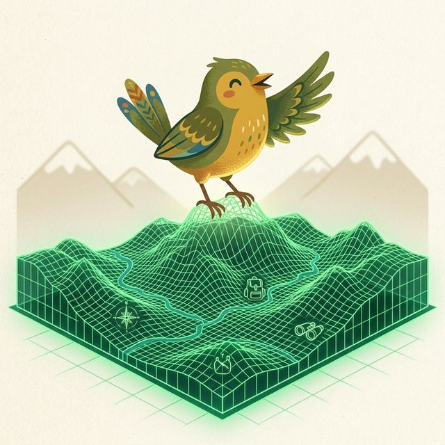
Take the guesswork out of overland travel. AnyRoost combines topographical models, public land boundaries, and local insights to dynamically score entire wilderness corridors and urban areas, helping you discover exactly where you belong without the map clutter.
Open the Map →Smarter Route Planning
We go beyond standard campsite directories. By synthesizing messy, overlapping crowdsourced pins into clean Area Intelligence Zones, we provide a unified, pre-computed view of entire forest corridors and areas.
Tell us your rig capabilities and connectivity needs. We'll automatically highlight the locations that match your setup, making it easy to find a beautiful, reliable spot for the night.

Intelligence, not just pins on a map
We cross-reference topography, federal land boundaries, telecom infrastructure, and local laws to provide definitive answers before you drive.

SpotIntel™ Briefings
Our AI acts as your personal assistant, synthesizing community reviews and sign-level municipal parking regulations into a clean, 4-sentence overview for each area.

Reliable Connectivity
Using terrain-modeled predictions, we give you confident estimates of Starlink Mini tree obstruction, sky visibility, and cellular reception before you arrive.

Terrain & Route Access
We cross-reference Federal Motorized Use Maps with elevation data, so you understand the road grade and difficulty for your specific vehicle.

Comprehensive Services
Locate essential infrastructure anywhere you roam. Discover over 76,000 verified locations for fresh water, laundry, dump stations, and showers.

Night Sky & Climate
Plan for perfect evenings using our integrated Bortle light pollution scale and 12-month NOAA climate averages to avoid unexpected weather.

Composite Fit Scoring
AnyRoost fuses all these dimensions into a single 0-100 fit score, tailored to your rig's capabilities and your personal scenic preferences.
Core mapping is free. Forever.
SpotDNA diagnostics, cell coverage, and 3D Starlink Obstruction Radar are free for all signed-in users. Advanced trip planning intelligence—including Rig-Aware Routing, proactive Route Logistics, and live Route Safety Alerts—requires AnyRoost Pro.
Founding Pro Supporter: $30/yr locked for life
Frequently Asked Questions
How is this different from other campsite finders?
Those apps tend to be pin-and-review collections. They show you thousands of messy, overlapping dots and force you to read years of conflicting reviews. AnyRoost computes macro-intelligence: we absorb point-level data and synthesize it into definitive Intelligence Zones. We evaluate entire wilderness roads and urban areas for terrain-modeled cell signal, Starlink viability, and strict parking legality, giving you a definitive 'Fit Score' heatmap.
How does the line-of-sight prediction work?
AnyRoost calculates the visible horizon from the precise coordinates of a campsite using high-resolution topographical modeling and environmental canopy data. We know if the Northern sky is blocked before you put the van in gear.
What is SpotIntel?
SpotIntel is our proprietary AI analyst. It parses thousands of data points—including municipal parking ordinances, seasonal closures, and sentiment—to produce a single, actionable 4-sentence safety and vibe briefing for every area.
Is AnyRoost free?
Core mapping is free. You get the dynamic composite heatmap, SpotDNA diagnostic bars, per-carrier cell speeds, Starlink viability scores, 3D Starlink Obstruction Radar (when signed in), AI-generated SpotIntel briefings, municipal ordinance panels, ClimateStrip, and public land overlays. Basic route planning is also free (up to a 10-route trial for signed-in accounts). Advanced spatial features—including unlimited routing, Google Maps route handoff, Rig-Aware Routing, proactive Route Logistics, and live Route Safety Alerts—require AnyRoost Pro. If you want to support our development and lock in your price, you can become a Founding Pro Supporter for $30/yr.